With more than 50 years of combined experience, we provide accurate mapping, Land Registry compliant plans, georeferencing, mobile data capture and data modelling that help clients manage land, property and infrastructure projects with greater precision.
Using advanced technology and a personal, professional approach, we turn spatial data into practical insight, giving you the information you need to plan ahead, reduce risk and act with confidence.
We work with estate owners, utility companies, lawyers, planners and land agents, offering practical support across a wide range of land and infrastructure projects
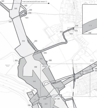
Using the latest Land Registry database, we support Nationally Significant Infrastructure Projects (NSIPs) with clear, dependable land referencing:
- Providing a land referencing service for complex infrastructure schemes
- Identify individuals and organisations with a legal interest in land within the scheme area
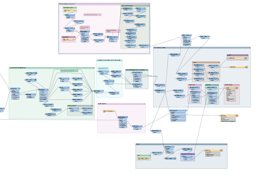
We turn spatial and non-spatial data into clean, consistent and usable information. From consolidating multiple data sources to building models that simplify complex datasets, we help our clients get more value from their data.
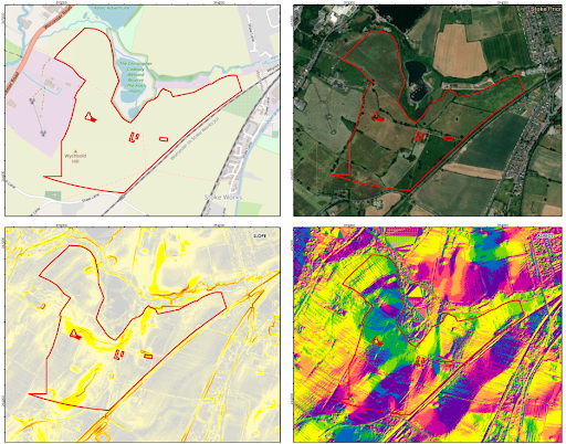
We tailor search criteria to clients’ specific development requirements and assess potential sites for suitability.
We collect data in the field using online survey tools or GNSS surveys to deliver accurate, reliable location data.

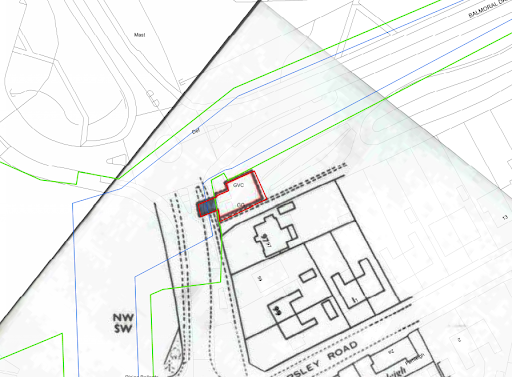
We digitalise outdated topographic map and overlay current geographic data, giving landowners and agents a more accurate view of their assets and portfolio.
Our geospatial data solutions team works alongside specialists across the firm to deliver joined-up property advice tailored to your needs.